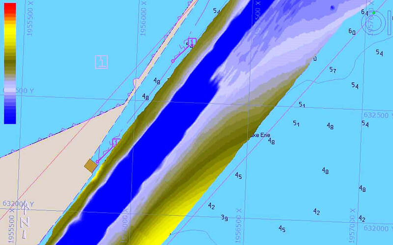
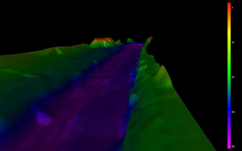
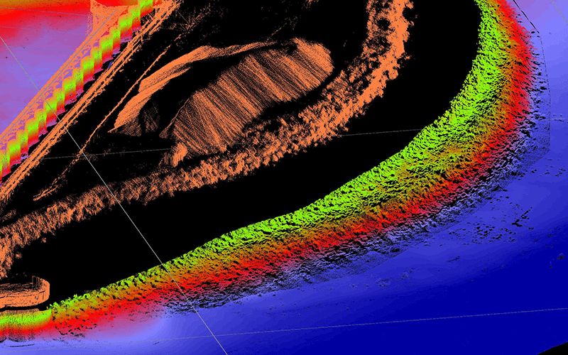
Hydrographic / Bathymetric Surveying
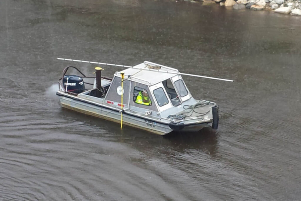
Ryba Marine offers a full range of professional hydrographic and bathymetric surveying services. Our experienced staff includes ACSM certified hydrographic surveyors, hydrographers, engineers, data processors and CADD specialists. Utilizing our fleet of vessels and equipment, Ryba provides quality professional data and deliverables for your project.
Ryba Services include but are not limited to Single and Multi-Beam acoustic sounding, side scan imagery, mobile and stationary Lidar, off-shore positioning solutions, acoustic backscatter and sediment sampling.
Ryba brings its extensive experience from industries that include dredging, harbor maintenance, environmental restoration, navigational charting, and utility location. Ryba’s experienced staff provides professional, economical, and timely solutions to all your hydrographic or bathymetric needs.